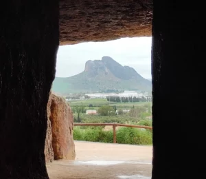
The Guadalquivir it is the longest river in Andalusia —657 kilometres from the Sierra de Cazorla to Sanlúcar— and the only navigable river in Spain. That turned Seville into an inland seaport.
But there is something that almost nobody knows, and it explains everything you are about to see.
This comes as a surprise to everyone: the stretch of water between the city centre and Triana, the one spanned by the Isabel II Bridge, it is not the main channel of the Guadalquivir. It is a dock: the old historic riverbed, now blocked at both ends.
Why it was done. In the 20th century alone, the river It burst its banks in Seville 18 times between 1902 and 1961. To put an end to the flooding, a new channel was dug to the west, near La Cartuja, and the old one was closed off:
The result is the Alfonso XIII Canal, a controlled water channel. And that is why the water is always still: there is no current. This is also what makes Seville a rowing capital.
The paradox of the play: the Chapina landfill site connected Triana with Seville by land, which had always been separated by water, and the new riverbed Triana was separated from La Cartuja, which had always been linked.
With the construction work on the Expo '92 The blockage partially reopened and shifted northwards to San Jerónimo, with the two watercourses now connected by underground pipes with adjustable flow rates.
The fact that best sums up what this river was like: On 10 August 1519, Magellan’s expedition set sail from the Guadalquivir on their way to what would eventually become their first round-the-world voyage.
During the 16th century, Seville had the monopoly on trade with the Americas, and everything flowed through this channel. The Romans already called it Betis, and the current name comes from Arabic al-wadi al-kabir, «the great river».
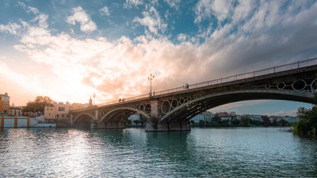
Officially Isabel II Bridge, is the oldest of the bridges spanning the river in the city: an iron structure dating from the mid- 19th century. From here, you can see at a glance the relationship between the two banks.
Go at sunset: this is when the light shines directly onto the façades on Calle Betis. You can find its history at the Triana Bridge.
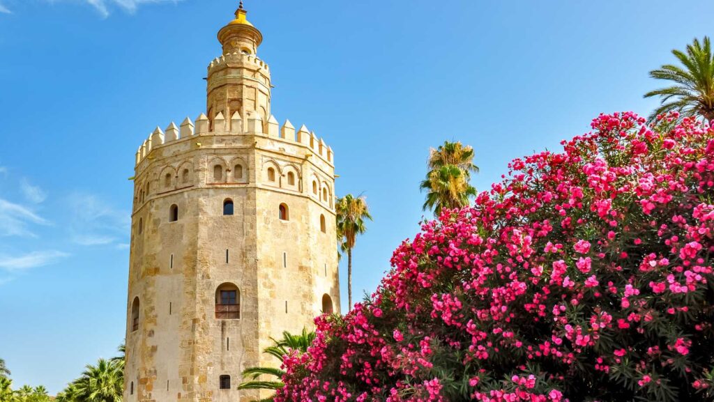
Watchtower Almohad built on the riverbank to control river access to the city. Today it houses the Naval Museumwith free entry by voluntary donation, and from its terrace you can see the water and Triana opposite.
Go in the morning, which is when she’s calm. More at the Torre del Oro.
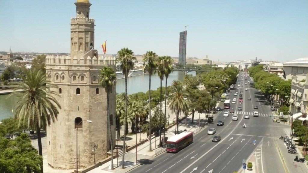
The most pleasant stretch for a walk along the river without leaving the city centre is between the Torre del Oro and the Triana Bridge. Along the way, you’ll find the Maestranza, the Maestranza Theatre and the jetties for the boat trips.
All around is the Arenal neighbourhood. And just a stone’s throw away, San Telmo Palace.
The best view of the city centre isn’t in the city centre. It’s in the Betis Street, in Triana: from there you can see the Torre del Oro, the Giralda and the skyline of the old town, all lined up along the water’s edge.
It’s where the people of Seville go to watch the sunset, and where you’ll find the terraces with the best views of the city.
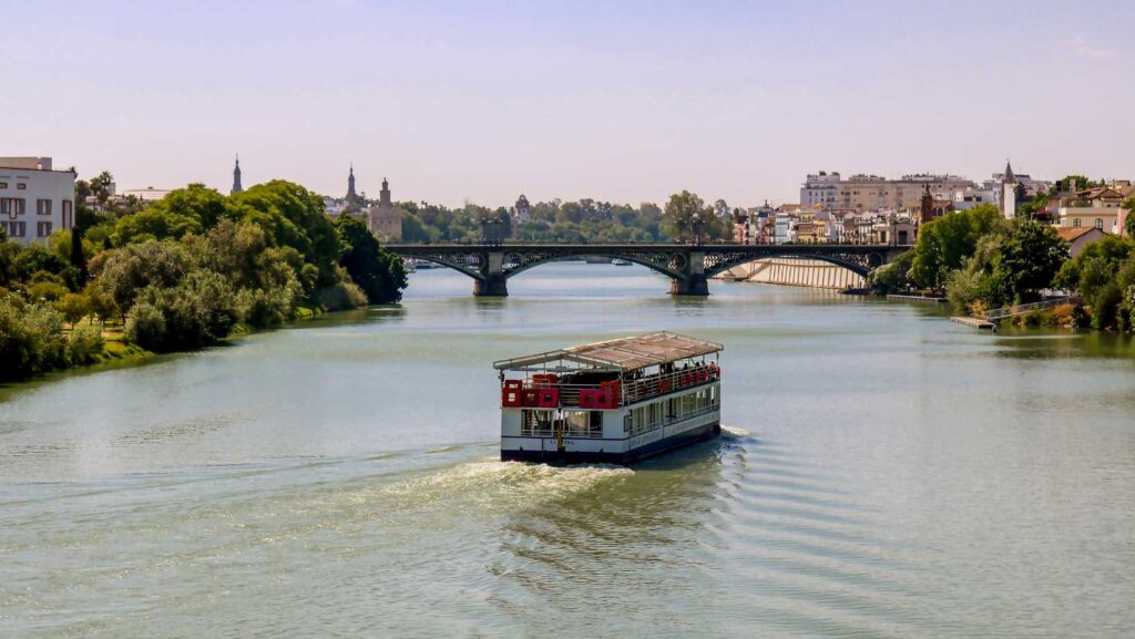
The boat trip It departs from the jetties next to the Torre del Oro and the Triana Bridge, and takes around one and a half hours and costs from around 26 euros. It takes you along the urban section and offers a view that you don’t get from the ground.
Rowing and canoeing. This is where the harbour comes into its own: as there is no current, Seville is one of the most important rowing centres in Europe. The first Spanish Championship was held here in 1957.
And the big event: the Sevilla–Betis regatta, which is rowed from October 1960 among the eight with a coxswain from the city’s two clubs. They are 6,000 metres from San Jerónimo to the Muelle de las Delicias, with the crowd following her from the banks. It’s a classic Spanish rowing race.
Walking or cycling. The East Bank River Walk It is flat and very long, and in the afternoons it fills with runners, cyclists, musicians and groups dancing under the bridges.
Two areas, and they are different:
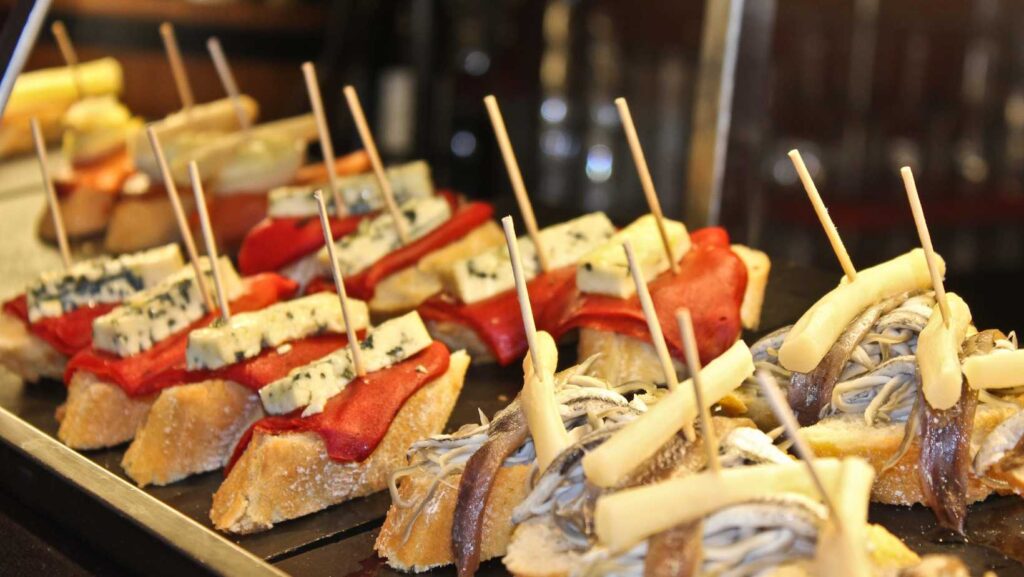
Do you have any specific places in the best tapas in Seville.
To fit it into your full itinerary, you’ll need Seville’s 15 must-sees, the Plaza de España y the city’s squares.
We are a local tour operator based in Málaga with over 50 years’ experience organising trips around Andalusia. Seville is just over two hours’ drive away via the A-92, so it’s perfect for a day trip:
Not exactly. The section between the city centre and Triana is the dock, the old historic riverbed, closed off to the north by the Chapina dam in 1948 and to the south by the Punta del Verde lock in 1951. The active river channel was diverted westwards, via La Cartuja, to put an end to the flooding. That is why the water is always still and has no current.
Because of the floods. In the 20th century alone, the river burst its banks and flooded the city eighteen times between 1902 and 1961. The works created a new channel to the west and closed off the old one at both ends, turning it into a dock. With Expo ’92, the Chapina barrier was partially reopened and moved northwards, as far as San Jerónimo.
It rises in the Cazorla mountain range, in the province of Jaén, within the Sierras de Cazorla, Segura y Las Villas Natural Park, and flows for some 657 kilometres before emptying into the Atlantic between Sanlúcar de Barrameda and the Doñana area. It is the only navigable river in Spain, a fact which turned Seville into an inland seaport.
Tours of the city centre start at around 26 euros and last about an hour and a half. They depart from the jetties next to the Torre del Oro and the Isabel II Bridge, and offer views of the Torre del Oro, the Triana Bridge and the San Telmo Palace from the water. It is advisable to book in high season.
This classic Spanish rowing race has been contested since October 1960 between the coxed eights from clubs affiliated with Sevilla and Betis. The course covers 6,000 metres from San Jerónimo to the Muelle de las Delicias, and spectators line the banks to watch. The lack of a current in the harbour makes Seville one of Europe’s most important rowing centres.
Calle Betis, on the Triana side of the river, because from there you can see the entire skyline of the historic centre, with the Torre del Oro and the Giralda in the background. It is where the people of Seville go at sunset. From the other bank, the best vantage point is the Paseo de Cristóbal Colón, between the Torre del Oro and the Triana Bridge.