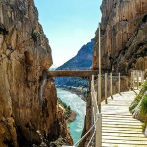
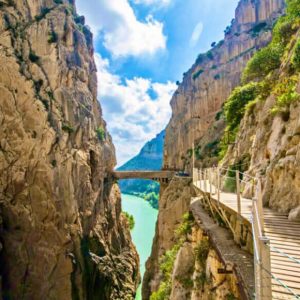
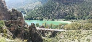
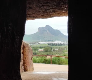
No, you can’t cycle along the Caminito del Rey. The footbridges are for pedestrian use only and are one-way: cycling on them is not permitted.
But the surroundings certainly do, and very well indeed. El Chorro and the Guadalhorce reservoirs boast some of the best cycle routes in the province, and there are sections of the Gran Senda de Málaga that are specifically signposted for cyclists.

It’s not an arbitrary ban: it’s simply that there isn’t physically enough room.
It is a 7.7-kilometre walk that takes three or four hours to complete. If you were on a bike, you’d have to carry it over your shoulder up the stairs, and that’s not allowed.
Nor can you leave your bike at the northern entrance and collect it later: the exit is in Álora, at the opposite end.

Here’s the good news. The The Great Malaga Trail (GR-249) It classifies its stages into three types according to how they can be travelled: on foot, by mountain bike and on horseback.
And three of the stages that pass through the Caminito area are suitable for cycling:
| Stage | Tour | Distance |
|---|---|---|
| 18 | Fuente de Piedra – Campillos | 15.7 km |
| 19 | Campillos – Guadalhorce Reservoirs | 23 km |
| 20 | Guadalhorce Reservoirs – El Chorro Station | - |
Number 20 is the one of most interest: It ends right at El Chorro station, next to the southern entrance to the Caminito, and winds its way through the gorge.
Just because a stage is cycle-friendly does not mean it is 100 per cent so. The organisation makes this very clear: by bike depends on time-related restrictions and local by-laws, and sometimes you have to look for parallel routes.
And the terrain is what it is: uneven paving and significant changes in level. These routes require a mountain bike and some technical skill, they are not cycle lanes.
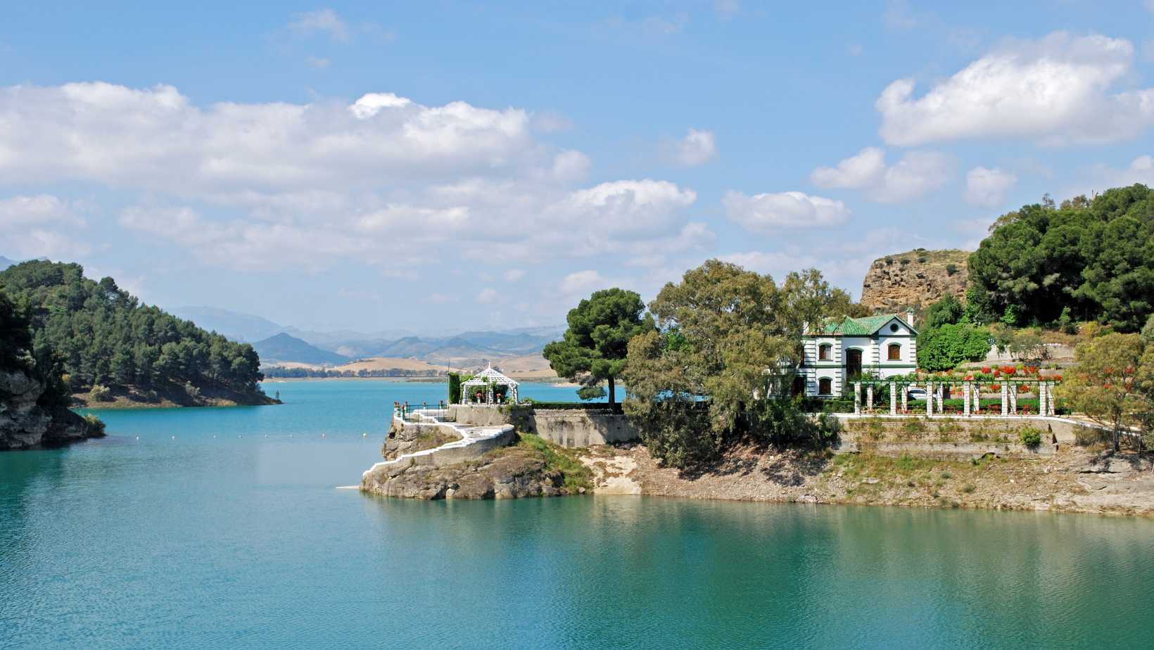
If you’re only going to do one route, make it this one.
The three reservoirs —Guadalhorce, Guadalteba and the Count of Guadalhorce— are surrounded by lanes and tracks which are great for cycling, with turquoise water on one side and limestone cliffs on the other.
And there is one fact that gives it historical significance: The Caminito del Rey is so called because Alfonso XIII crossed it in 1921 to open the Conde de Guadalhorce dam. In other words: the dam the king was visiting is one of those you can cycle round today.

The Guadalhorce Long-Distance Trail (GR-248) starts at El Chorro station, which, in four stages, leads to the river’s mouth in Málaga city.
It’s downhill almost all the way, following the river. For anyone coming with their own bike and staying for several days, this is the longest route in the area.
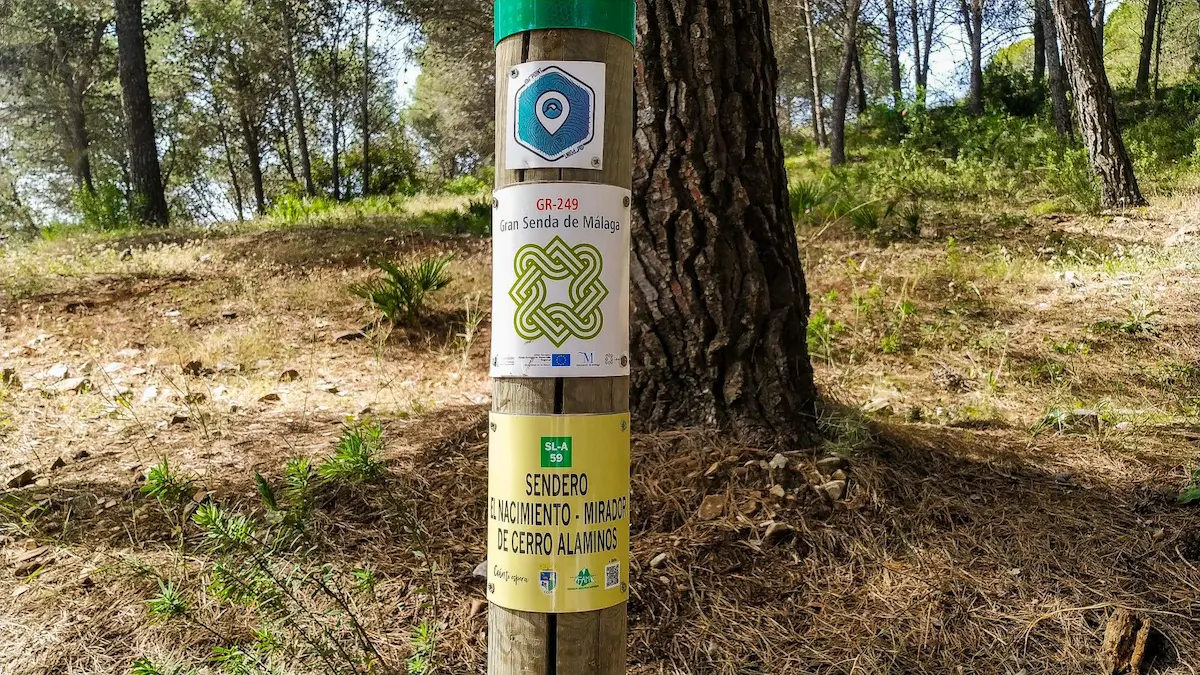
It’s worth knowing, because it explains the restrictions. This entire area is protected by four different designations at the same time:
That is why cycling is regulated and that you should keep to the marked lanes and tracks.
And here’s a little fact about the place: these ‘cortados’ are the largest climbing school in the south of the peninsula. You’ll see climbers on the rock faces from the path itself.
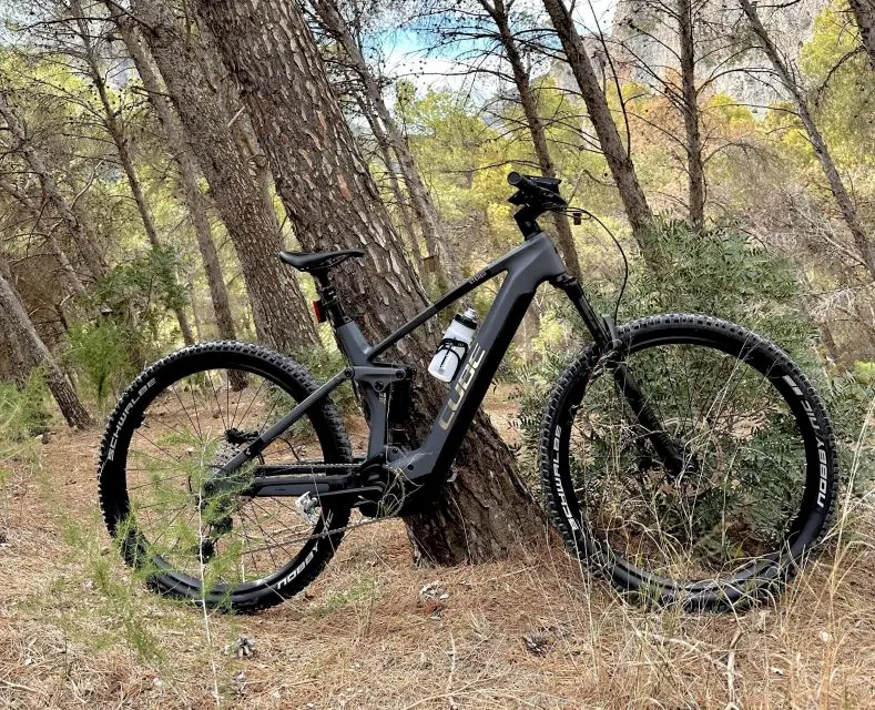
It’s the option that solves the two problems of bringing your own bike: transport to El Chorro — which is poorly connected — and the steep terrain.
With an electric bike, you can explore the area without getting tired, and in a couple of hours you can cover a distance that would take half a day on foot.
And it works particularly well when combined with the Caminito: the walkway in the morning, lunch, and the e-bike ride in the afternoon. That way, you get to see the gorge from both inside and outside on the same day.
El Chorro is poorly connected, and here’s the situation:
Check the rules for taking a bicycle on your train before you travel: they vary depending on the type of service.
We are a local tour operator based in Málaga with over 50 years’ experience organising trips around Andalusia.
If you want to walk the Caminito —on foot, which is the only way— The problem is getting there: There is little public transport in El Chorro, and admission is subject to capacity limits and allocated time slots.
The day trip from Málaga and the Costa del Sol includes transport, admission and a guide. And if you make your own way there, there’s the option of tickets including a guided tour and a shuttle bus, which handles transport between the two entrances.
Before you go: Tips for walking the Caminito del Rey, whether it is dangerous y how to do it with children.
And for the environment: What to see in Ardales y Where to eat at the Caminito del Rey.
No. The walkways are for pedestrian use only, are one-way and are anchored to the gorge wall at a height of over one hundred metres, with flights of steps connecting them. The route is 7.7 kilometres long and takes three or four hours to walk. You can, however, cycle around the area: the Guadalhorce reservoirs and several sections of the Gran Senda de Málaga.
Three sections of the Great Malaga Path are signposted as suitable for cycling in this area: section 18, from Fuente de Piedra to Campillos, covering 15.7 kilometres; stage 19, from Campillos to the Guadalhorce reservoirs, covering 23 kilometres; and stage 20, which ends at El Chorro station, next to the southern entrance to the Caminito. Furthermore, the Great Guadalhorce Trail starts from the same station and runs down to Málaga in four stages.
Yes, or an electric bike. The surface consists of track and dirt with steep gradients, so a road bike isn’t suitable. The Gran Senda itself warns that its cycle routes run over uneven surfaces and may present technical difficulties, and that cycling is subject to temporary restrictions and local by-laws.
It’s the most practical option if you don’t have your own bike, as it sorts out transport to El Chorro – which is difficult to reach – and the steep terrain. In a couple of hours, you can cover a distance that would take half a day on foot, and it combines well with the Caminito: the footbridge in the morning and the route in the afternoon.
Travelling by train is the best option: El Chorro-Caminito del Rey station provides connections to Málaga, Seville and Ronda, and drops you off at the starting point of the trails. It’s a good idea to check in advance the rules on carrying bicycles on the specific service, as these vary. By car, it takes about fifty minutes from Málaga.
Because Alfonso XIII cycled along it in 1921 to inaugurate the Conde de Guadalhorce dam, and the name has stuck ever since. There is a connection between the two: the dam the king was visiting is one of the three that are now included in the cycle routes in the area.